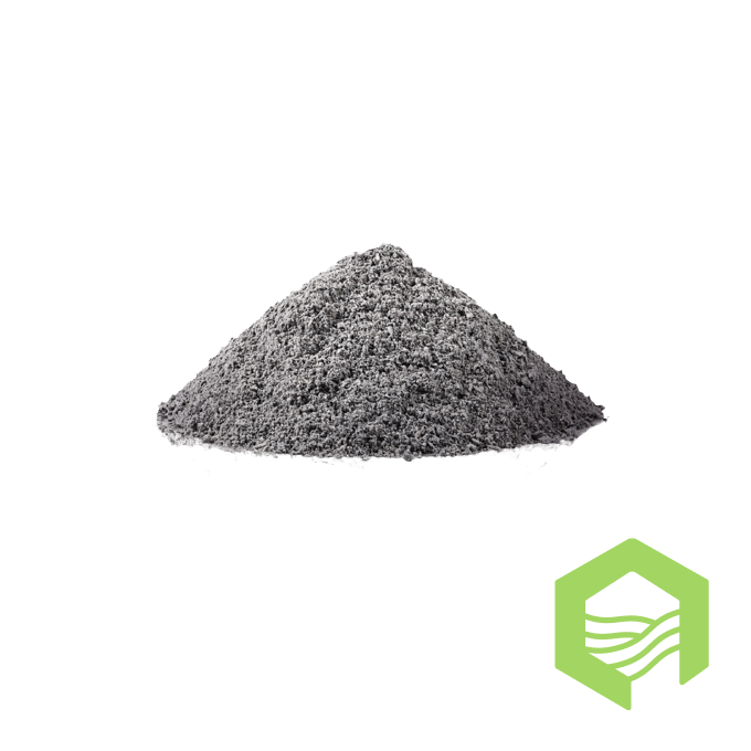
Дресва
Description
Status:
On sale
Reason for posting:
Sale of land
PI section category:
Dresva
Short description:
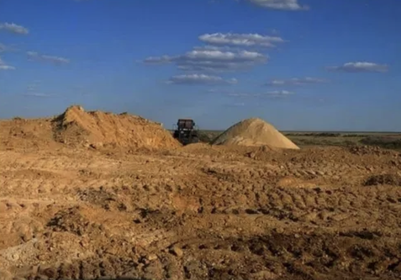
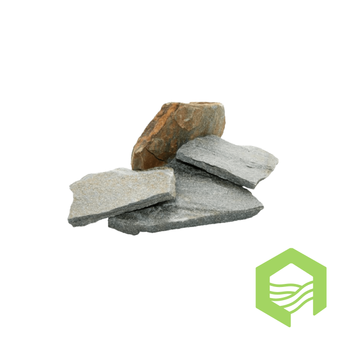
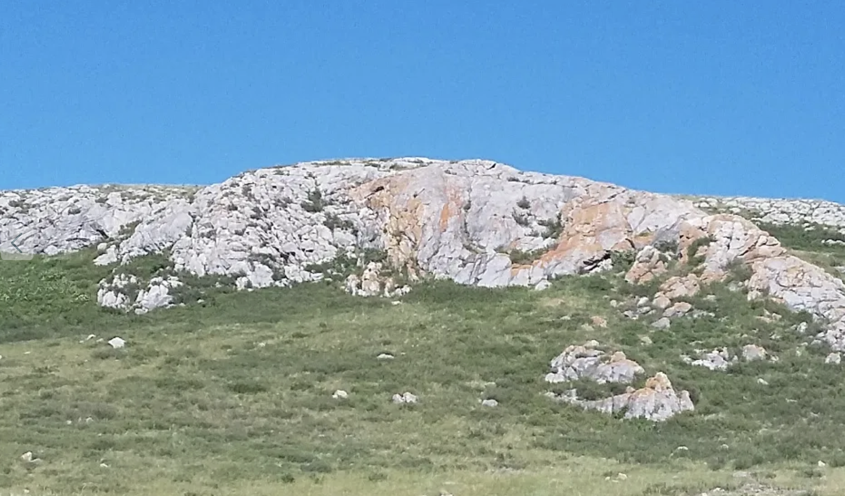
For sale is a limited liability partnership with a deposit for the extraction of gruss (building stone) with the ability to produce crushed stone of different fractions. The field is located in the village of Arnasay (Vyacheslavka), Arshaly district, Akmola region, the distance to the city of Nur-Sultan is 40 km. The production contract was concluded until November 09, 2027, with the possibility of expanding geographical boundaries and extending the contract period. Geological exploration has been carried out and reserves have been put on the balance sheet. A mining project has been prepared. The total area of the mining allotment is 24.3 hectares. Reserves in category C1 -2.5 million tons/1000 cubic meters. Production volume 1021.1 thousand cubic meters.
Price:
60000000 ₸
Map
Similar areas
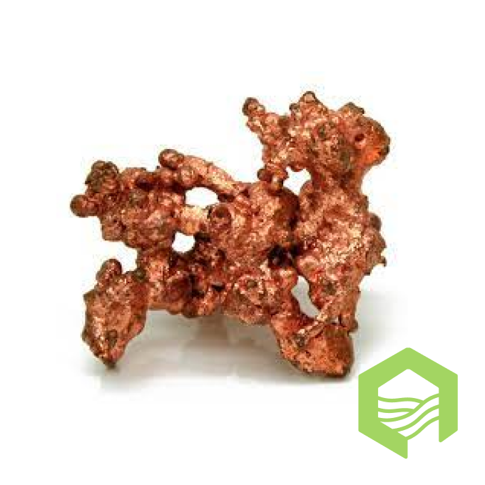
The Shat-4 site is located 180 km northeast of Karaganda. The nearest settlement is the village. Tendik is located 50 km northeast of the site. The Priyatnoye railway station is located 160 km south of the center of the square. The Shat-4 site was explored by S.I. Popov in 1850, who then transferred it to Perfilyev. In 1915-1916, exploration of the site was carried out by the American geologist Reifus, whose materials have not survived. In 1925, geological exploration work on the site was carried out by N.G. Kassin, based on the results of which in 1926, mining engineer M.N. Dobrokhotov. drilled 5 wells in different parts of the site. Upon completion of the drilling work, M.N. Dobrokhotov. Experimental studies were carried out on the extraction of copper from sooty ores and mineralized quartz porphyries, which gave positive results. In 1931, Kassin N.G. based on his field materials and the results of drilling operations M.N. Dobrokhotova gave a description of the site with calculations of copper reserves. Three search areas have been allocated at the Shat-4 site: north - Sar-Byurat, east - unnamed and south - Tasadyr. In addition, the site, on the recommendation of geologist V.P. Pakholyuk in 1978 it was searched for ornamental malachite. Three types of ores have been identified at the deposit: -disseminated ores in granite porphyries; -continuous metasomatic contact ores; - ore earthy accumulations of contact, more often representing destroyed friable earthy sooty copper ores with blocks of secondary quartzites. Disseminated ores. The copper content here often rises to 20%. Contact ores (the second type) contain copper 20-35%, form a thin, uneven rim with a width of 0 to 0.25 m. Hornfels are often transformed into loose, earthy, dark mineralized rock. Copper content from 1 to 13%. The predicted copper resources in one of the local areas of the Shat-4 (Tasadyr) deposit, excluding the Sar-Byurat site, are calculated in the amount of 9 thousand tons to a depth of 50 m. Taking into account the predicted added resources throughout the entire area, taking into account the flanks of the deposit to a depth of 300 m - estimated to be at least 200,000 tonnes in metal with an average content of 1%. Production and Survey Artel LLP received License No. 452-EL dated December 11, 2019 for the exploration of solid mineral deposits (copper ores). In 2020 and 2021, topographic work was completed throughout the entire area of the site, and mining work (ditches) was carried out. All three sections have been searched, the ditches have been sampled along their entire length, and the results of spectral and chemical analyzes have been obtained. Based on the results of chemical analyses, ore zones with copper contents (board 0.2%) - from 0.2 to 3.610% were identified.
Категория ПИ участка:
Медь
The right to subsoil use for the extraction of gravel-sand mixture is for sale, together with an individual entrepreneur (peasant farm). Confirmed reserves amount to 84.0 thousand cubic meters. meters. In terms of fineness modulus, sands belong to class 2: large and increased fineness. The deposit and industrial complex are located 40 km northwest of the city of Arkalyk. Nearest body of water: the Tasty River, flowing 0.7 km from the quarry. The peasant farm has a fixed territory of 40.9 hectares and pastures of 123 hectares. There is a possibility of expansion. On the territory of the objects there is a permanent house, outbuildings. buildings, frame for a barn for 1000 cattle. The farm is provided with water from springs (40 m from the house), has a well and solar panels to supply the house. It is convenient for livestock farming, there is a stocked river and the opportunity to create and run a tourism business. All permits for the quarry (including ownership) are available. All inquiries by phone.
Категория ПИ участка:
Гравийно-песчаная смесь
Deposit of stone for the production of crushed stone, moamorized limestone. The volume of reserves is 4 million cubic meters. 20 km from Astana.
Категория ПИ участка:
Известняк
Deposit of variegated red marble for a project for investment and investment. Location in East Kazakhstan region with an area of 512 hectares. Suitable for marble extraction, cement plant construction, crushed stone extraction for railways and roads. It has a compressive strength of 600-850 gks/cm2, water absorption of 0.5%, porosity of 0.5% and bulk density of 2.65 g/cm3. The estimated output of conditioning units is on average 58%. The cost of the project is negotiable.
Категория ПИ участка:
Мрамор
MinForce LLP LLP, BIN: 050240012772 © Geo Hub 2024. All rights reserved.

